Sho’aríshon Park

Sho’aríshon Park extends the museum experience beyond the gallery and into the landscape itself. Created in close collaboration with Indigenous partners, the park honours the history of the Neutral Nation (Attawandaron), the first known inhabitants of the land now called Lincoln. The park includes a rain garden with native species, an interpretive longhouse structure, shaded gathering spaces, storytelling signage, and a mix of permanent and evolving public art.  

Located at 3039 King Street in Jordan, the park can be reached either by road, with on-site parking, or by trail from the Lincoln Museum and Cultural Centre via the Twenty Valley Trail.

Trail is closed until Summer 2026. The trail route is an immersive experience through conserved woodland, connecting visitors to the land, water, and stories that shape this place. Please note that the trail includes stairs and uneven terrain and is not maintained in winter.

The Land and Its History

The Neutral Nation

This landscape holds a much deeper history than the modern village of Jordan. Oral histories and archaeological evidence suggest Indigenous presence in this region for at least 12,000 to 13,000 years.

The earliest known inhabitants of the land now known as Lincoln were several groups of Iroquoian language-speaking people who lived mainly along the northern shores of Lake Ontario and Lake Erie. They are sometimes called Hatiwendaronk, Attawandaron, or the Neutral Nation, but we do not know what they called themselves.

In 1615, Samuel de Champlain referred to these nations as “la Nation Neutre,” noting their position between the Haudenosaunee and the Huron-Wendat. The name Attawandaron has been translated as “people whose speech is a little different.” One Neutral group, the Onguiaahra, is believed to be the origin of the word “Niagara.”

The Neutral sustained themselves through agriculture, hunting, fishing, and trade. The region’s rich deposits of flint made it an important centre for tool-making and exchange, connecting communities across the region. At their height in the early 1600s, the Neutral population is estimated at approximately 40,000 people. By the mid-17th century, famine, conflict, and diseases introduced through European contact led to their dispersal, with survivors joining other Indigenous nations, including the Haudenosaunee.

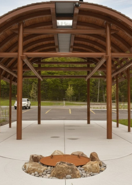
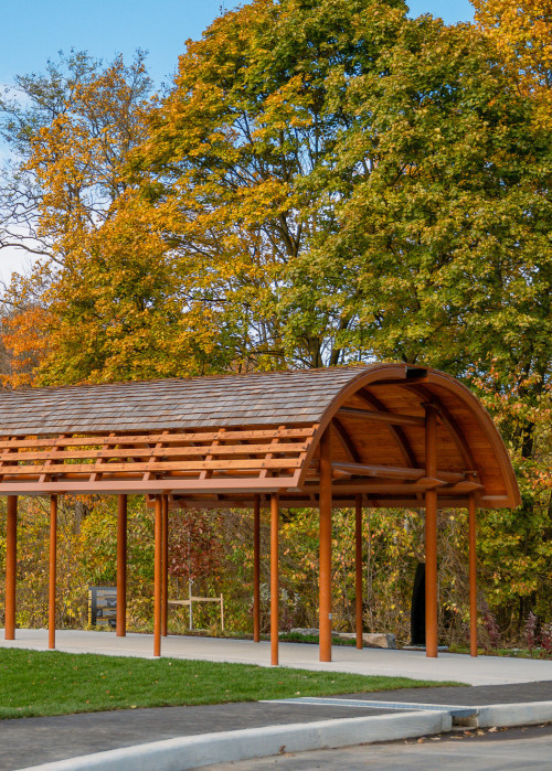
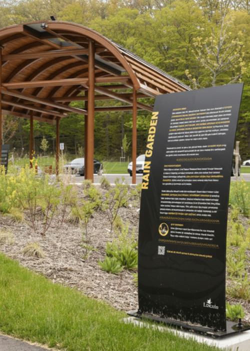
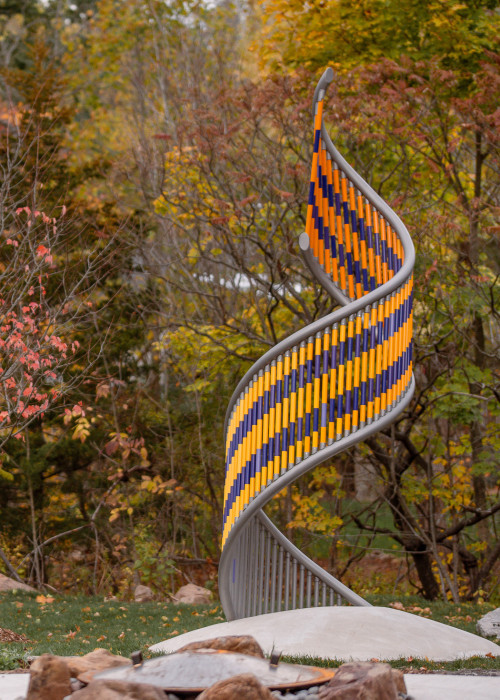
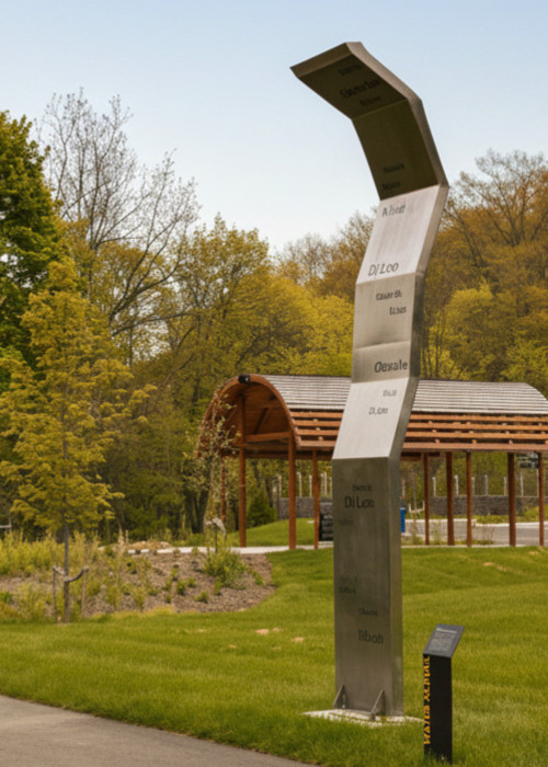
Sho’aríshon Park was created to honour this history and to provide a space for reflection, learning, and Indigenous cultural expression.

The Neutral Nation and Sho’aríshon

Sho’aríshon Park (pronounced So-ah-ree-son) takes its name from a contemporary Mohawk (Kanyen’kéha) spelling of Souharissen, the name of a Neutral Nation leader recorded by French missionaries in the early 1600s. The name translates to “He is shaking a net,” evoking the movement of Twenty Mile Creek and the deep connection between people, water, and sustenance. 

Sho’aríshon Park sits on land with deep Indigenous history. Archaeological evidence shows multigenerational Neutral habitation less than 500 metres from the site. 

In the park

Features

Developed in collaboration with Indigenous partners, the design of Sho’aríshon Park draws on the histories of this land, using structure, art, and planting to create a space for learning, reflection, and connection.

Ceremony

01Sacred Fires

Sho’aríshon Park is a place where Indigenous cultural practices, including sacred fires, may take place.

Sacred fires are held for ceremony, reflection, and community, and are an important part of ongoing Indigenous cultural expression. Individuals or groups wishing to hold a sacred fire must complete a request through the Town of Lincoln website.

Visitors may encounter ceremonies during their visit. If a ceremony is taking place, please observe quietly, give space, and do not take photographs.

Culturally Inspired Architecture

02Longhouse & Palisades

The features of Sho’aríshon Park draw on cultural forms and histories connected to this land, including the longhouse and palisade walls used by both the Neutral Nation and the Haudenosaunee.

The Neutral lived in longhouse villages fortified by palisade walls throughout the area. Longhouses were shared spaces where multiple families lived together and community life was organized. Today, the form continues to represent gathering, connection, and collective responsibility.

03Gardens and Plantings

The gardens and plantings throughout Sho’aríshon Park reflect species native to this region.

These include pawpaw trees and a rain garden, which together support local biodiversity and demonstrate the relationship between plants, water, and the landscape.

Public Art: David Beyer and Lilly Otasevic

04Two Row Helix

The Two-Row Wampum emerged as an understanding and framework of respect and peaceful coexistence between European settlers and the Haudenosaunee. Over time, it has become a powerful symbol of Indigenous sovereignty, mutual respect, and the responsibilities of all Treaty peoples. This work reimagines the wampum as a rising spiral, rooted in the earth yet reaching toward the sky. Its helix form recalls DNA, the shared essence of all beings, while warm amber tones suggest flames and the sustaining energy of the earth.

Public Art: Kathryn Corbiere & Sophie Anne Edwards

05Water Scroll

This work is inspired by the curves of the 20 Mile Creek and the waterways that run like veins through the land, carrying life and memory. Language flows in the same way, animating culture, story, and imagination. Words hold power: historical, cultural, and symbolic.  The word water is repeated in Anishinaabemowin, Kanien'kéha, and Michif, grounding the many voices to the land and creek. Just as water nourishes the land, language feeds culture and resilience.

Public Art: Alyssa General

06Twenty Mile Creek Bridge

Inspired by Neutral Nation iconography, these symbols reflect the story and spirit of the land. Nets and fish reference both the name of the park, Sho’aríshon (meaning “He is shaking a net”) and its location on the Twenty Mile Creek. Tsikónsase, of Neutral descent and remembered as the first Haudenosaunee clan mother, is depicted with hair of corn stalks and flowers. The Paw Paw highlight the region’s unique ecosystem and abundance, while thunder clouds and water symbolize Lake Ontario, the Niagara River, and the legends of the Thunder Being.

Public Art: Ryan Woodruff

07Guided by Memory (Toward the Gathering Place)

As you walk the trail leading to Sho’aríshon Park, salmon sculptures move alongside you, guiding the way. For generations, salmon returned each year to Twenty Mile Creek, symbolizing life, renewal, and continuity. The Neutral peoples who lived along this waterway relied on the creek for sustenance and gathering, connecting daily life to seasonal cycles.

Each of the three salmon forms carries an emblem — an eagle, a turtle, and a fish — representing relationships between people, animals, and water. Their flowing forms echo the movement of the creek and the enduring presence of those who have long gathered here.

Twenty Mile Trail

Hike the Trail - CLOSED UNTIL SUMMER 2026

Sho’aríshon Park can be reached on foot via the Twenty Valley Trail from the Lincoln Museum and Cultural Centre.

This approximately 1 km route passes through the Ontario Heritage Trust’s Ellis Property and follows a natural trail with uneven terrain and stairs. The trail is not maintained in winter and should be used with caution.

Location

Sho’aríshon Park
3039 King Street
Jordan, ON

Visitors can reach Sho’aríshon Park in two ways:

  • By road
    • Drive to 3039 King Street, Jordan. Parking is available on site, and visitors can walk directly into the park from the parking area.
  • By trail
    • Visitors may also reach the park by walking from either the Lincoln Museum and Cultural Centre or Ball's Falls Conservation Area along the Twenty Valley Trail. This trail passes through the Ontario Heritage Trust’s Ellis Property.

Trail Information

Length:

  • Museum to Park: 1.0 kilometre / 20 Minute Hike (One Way)
  • Museum to Ball's Falls: 2.0 kilometres in Length / 45 Minute Hike (One Way)
Difficulty: Easy to moderate. May be uneven or affected by seasonal conditions. 
  • Includes stairs and uneven terrain
  • Not maintained in winter: may be icy, muddy, or difficult depending on conditions
  • Visitors should use caution and wear appropriate footwear.


The Twenty Valley Trail and Ellis Property

The Twenty Valley Trail is a side trail to the Bruce Trail in the Niagara Peninsula. It provides a link between Balls Falls Conservation Area and the Niagara Escarpment and Lake Ontario Waterfront Trail through the Ontario Heritage Trust’s Ellis Property. The Ellis Property is managed as a protected nature reserve, and visitors using the trail are expected to remain on marked routes and respect posted rules.

The Twenty Valley Trail is a hiking trail and no bicycles are permitted.

Please respect the natural environment on your walk through the valley – leave nothing but your footprints and bring nothing out except good memories.

Respecting the Space

Visitors are encouraged to move through Sho’aríshon Park with care and respect. If a ceremony is taking place: observe quietly, do not interrupt; allow space; and do not photograph ceremonial activity.